- WE’RE HERE TO HELP 24/7
- 800.586.5555
Tornado Season is Approaching

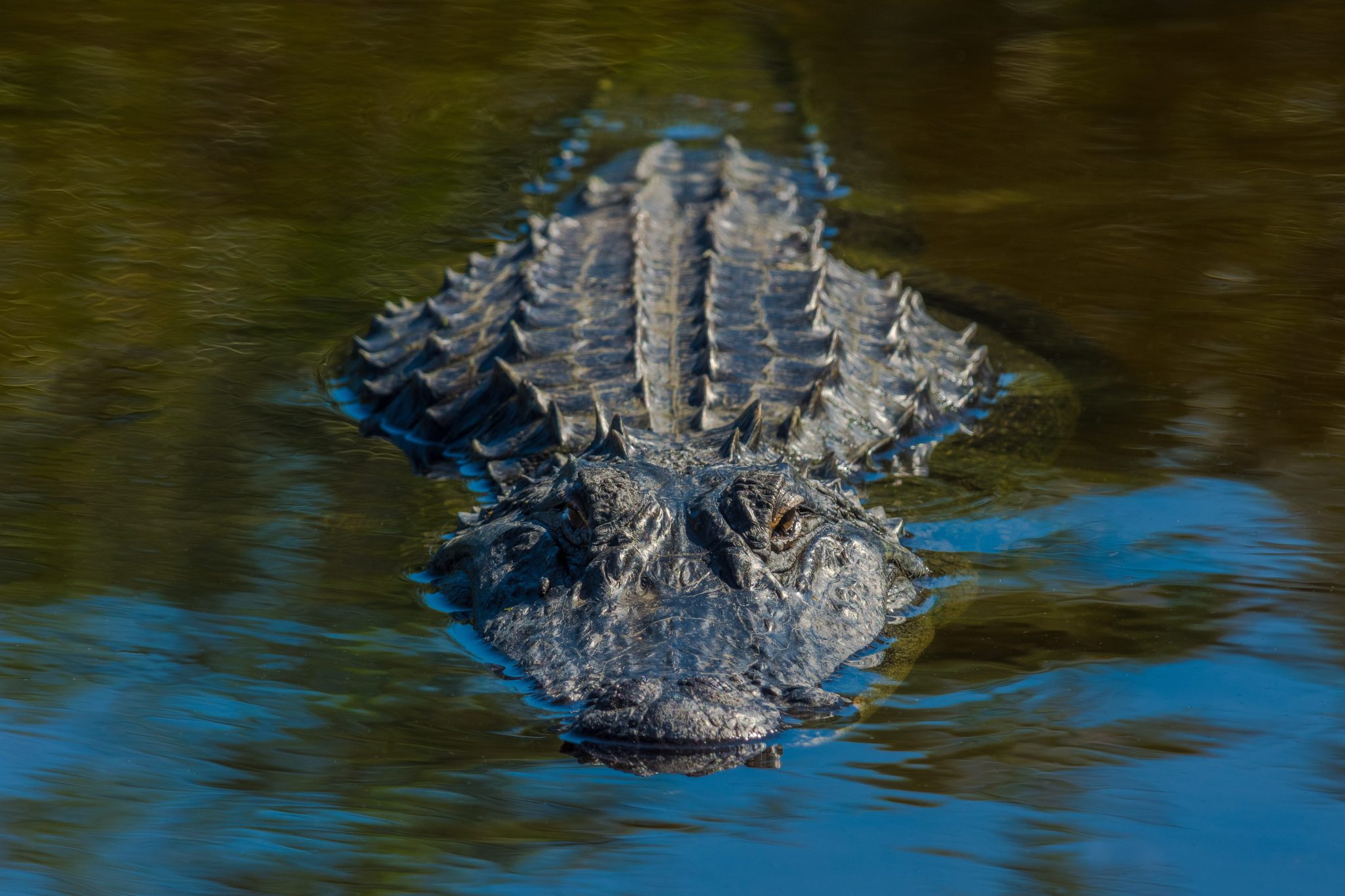
What Do Alligators Do in a Hurricane?
February 4, 2023
Kanner & Pintaluga Expands in Southwest Florida – Opens 4,700 sq ft Office in Fort Myers to Support Clients in Wake of Hurricane Ian
February 15, 2023Tornado Season is Approaching

The coming spring season brings a lot of pleasant things – the return of warm weather, plants and trees regrowing, and the promise of summer around the corner. Unfortunately, spring also means the beginning of tornado season.
As you prepare for the worst-case scenario, make sure you are also well-informed about the different kinds of tornadoes you can expect.
What Produces a Tornado?
A supercell thunderstorm is what produces tornadoes. It is a classification of storm characterized by the presence of a mesocyclone: a deep and persistent vortex of air that creates a rotating updraft within the thunderstorm, resulting in the creation of a tornado.
The type of tornado a mesocyclone produces can vary across a wide range of shapes.
Rope
The most common and smallest tornado type, rope tornados are long and thin, with a serpentine, rope-like shape for the storm’s beginning and ending moments. Sometimes, they only last for a few minutes, maintaining their sinuous shape throughout their entire lifespan.
Despite their small size, rope tornadoes can still be dangerous. Some can even get more intense as they narrow down and tighten.
Cone
When you imagine what a tornado looks like, odds are you’re picturing a cone tornado. Wide where it meets the clouds and narrow where it meets the ground, its appearance looks vaguely similar to a cone.
The cone tornado is more concerning than the rope. Its wider size means it leaves a larger path of destruction in its wake.
Stovepipe
The stovepipe tornado is nearly identical to the cone tornado. The only difference is that it is the same width at the base of the thunderstorm as it is on the ground.
Wedge
One of the more dangerous forms a tornado can take, wedge tornadoes are wider than their height, about half a mile or greater in width, and have the potential to produce significant damage.
Some of the most disastrous tornadoes in history have fallen under the wedge tornado classification. While most of them are not that powerful, it is still hazardous.
Multi-Vortex
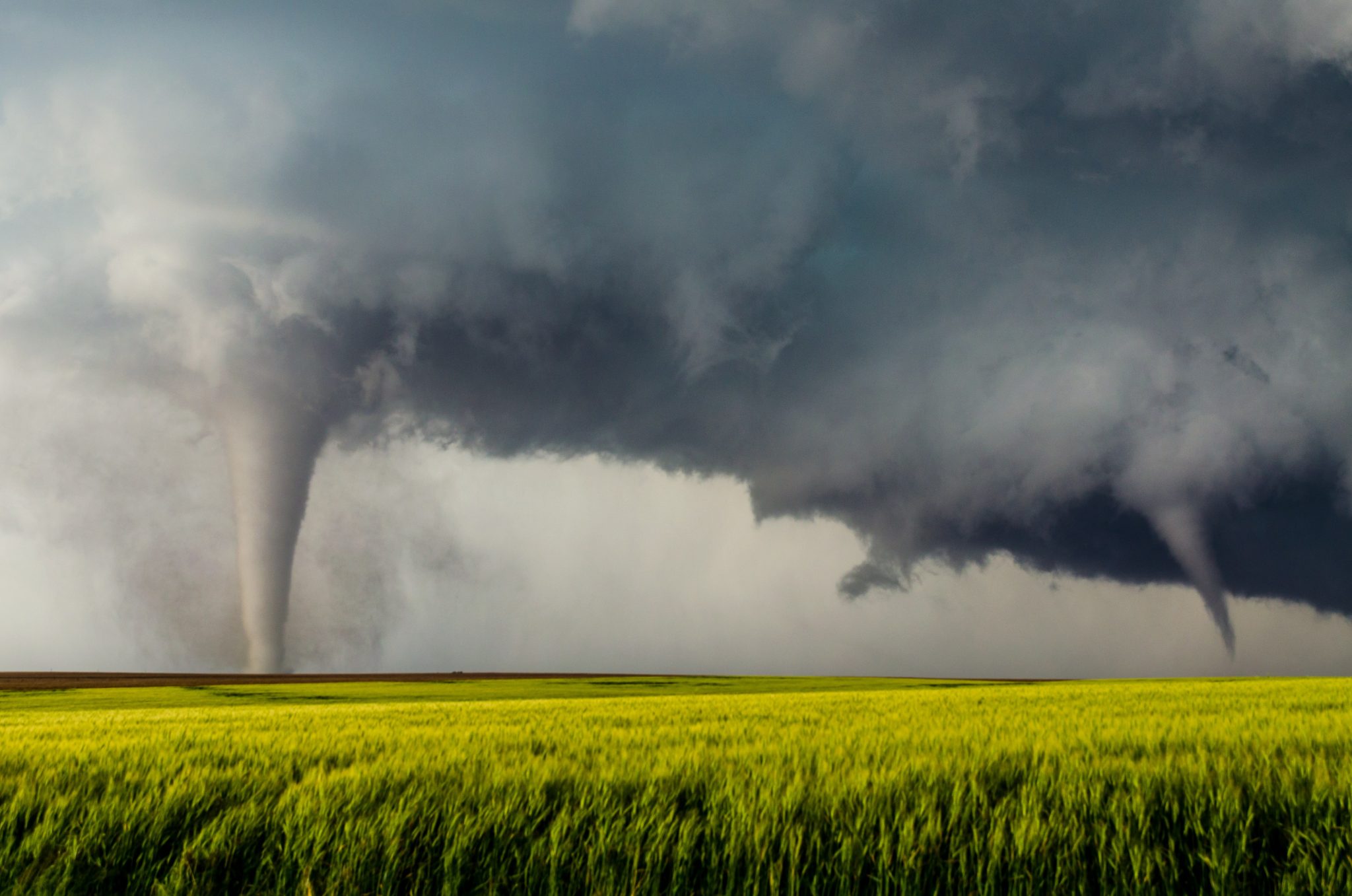
A multi-vortex tornado is when there is more than one sub-vortex condensation funnel or debris cloud present, all rotating close to the mesocyclone. These can be especially damaging.
Can Tornadoes Appear Without a Thunderstorm?
Even without the presence of thunderstorms, some forms of tornadoes can still form.
Waterspout
A waterspout forms and rotates over a body of water. Contrary to what you might think, it is not filled with water; instead, it is a column of wind created by condensation. A waterspout tornado can also sometimes move from the water to land. It’s generally weaker than other tornadoes, but it can still cause substantial damage.
There are two types of waterspouts: tornadic and fair-weather spouts. A tornadic waterspout, as the name implies, shares near-identical properties with land tornadoes. It can form with a supercell thunderstorm, developing downward from mesocyclone and accompanied by severe weather and winds, or without one.
Despite being more common, a fair-weather waterspout is not to be taken lightly. It can take shape during fair or calm weather, ranging from a cloudy day to light rain. They normally form during the morning and only sometimes in the afternoon. Unlike other forms of tornadoes, by the time you can spot its funnel, it has almost reached maturity.
Normally, a fair-weather waterspout moves very little. Fair-weather waterspouts that make it to land usually fizzle out quickly. If they maintain their form, however, they can still cause damage.
Landspout
Landspout tornadoes, similar to waterspouts, can form without a mesocyclone. They’re weaker and have shorter life spans than other tornadoes. Still, a large one can potentially be harmful.
Dust Devils
While most other tornadoes occur through rain, whether severe or light, dust devils are whirlwinds caused by hot and dry weather. While strong, they are normally short-lived and relatively harmless. They can, however, still cause damage if they become big enough.
Gustnadoes
Finally, a gustnado is a small whirlwind formed from the offshoot of a thunderstorm. Since it is not connected to any cloud-based rotation, it is not technically a tornado. Similar to dust devils, it can cause damage if substantial enough.
Hopefully, you won’t encounter any tornadoes this spring. If you do (which is far from unheard of in Florida) make sure you know your tornado types so you can recognize its shape and act accordingly.
Even if the worst-case scenario does occur and your home is damaged in the aftermath, Kanner & Pintaluga is here to help. Our property damage lawyers will fight to make sure you get the insurance coverage you deserve. Call 800.586.5555 or fill out the form here to get a free case evaluation from a storm damage lawyer.
